SAFE BICYCLE STREETS
Safer Jacksonville Bicycle Lanes and Connected Neighborhood Streets
By Fitz Desprez · September 12, 2026
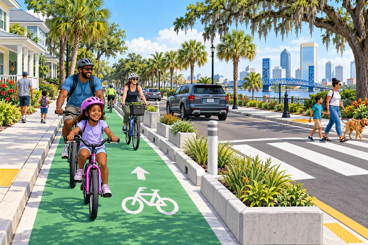
A bicycle lane should be a safe connection, not paint that begins without warning and disappears at the most dangerous point. Jacksonville needs a practical network that considers crashes, traffic speed, schools, parks, transit stops, jobs, senior routes, drainage, maintenance, disability access, and the needs of residents who drive, walk, ride, or use mobility devices.
Build connections instead of isolated segments
The first step is identifying where people need to travel and where dangerous gaps exist. Routes should connect neighborhoods with schools, employment centers, parks, libraries, shopping, transit, and waterfront destinations. A disconnected segment may look complete on a map while leaving riders exposed at the next intersection.
Project selection should use safety history, traffic conditions, public input, network value, feasibility, and equity. Residents should see why one location moves first and what connection comes next.
Design for the street that actually exists
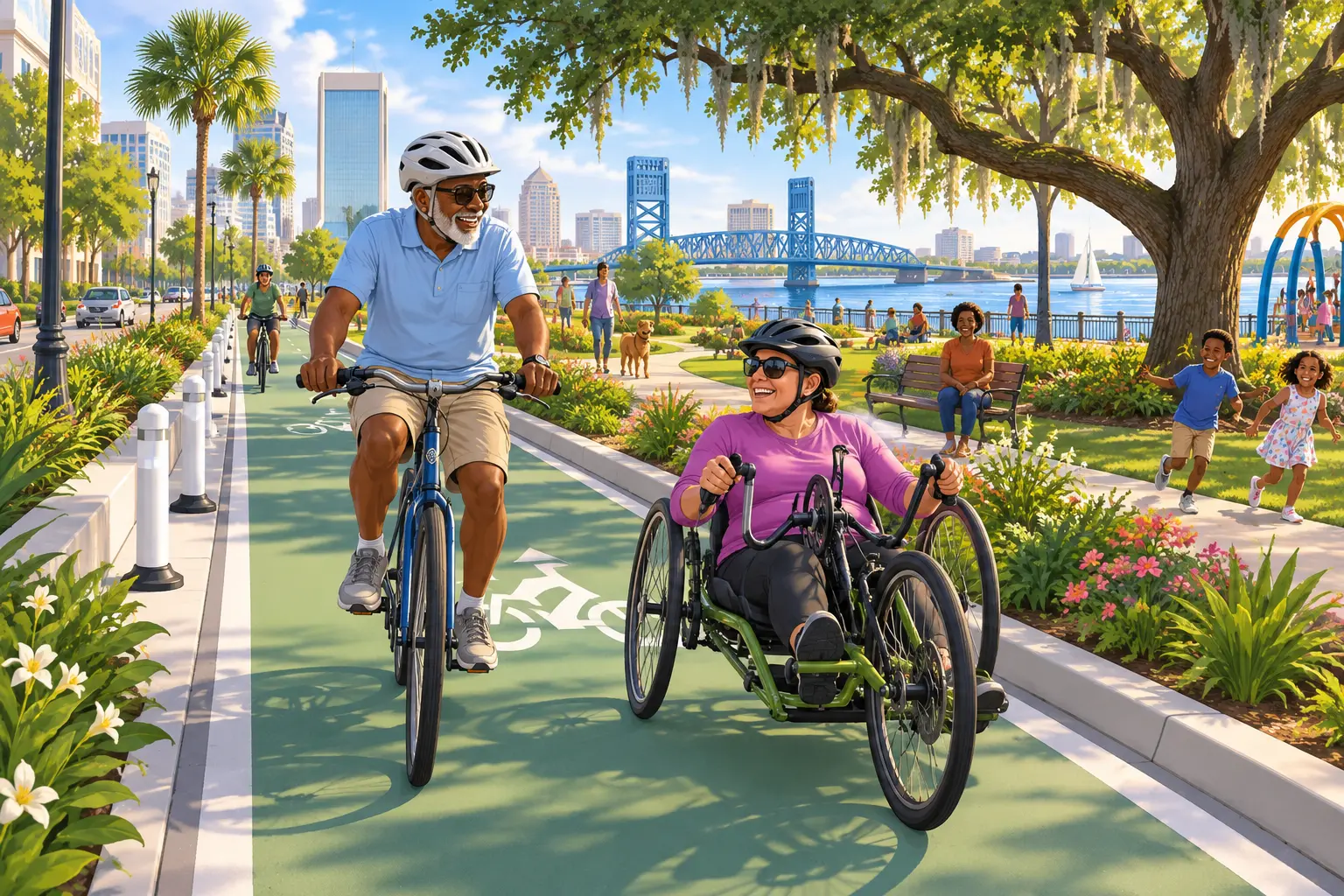
Not every road requires the same treatment. Depending on speed, width, traffic, intersections, freight activity, drainage, driveways, and available space, a corridor might use a protected lane, neighborhood greenway, shared low-speed street, off-street path, crossing improvement, or another professionally designed approach.
Qualified transportation engineers and emergency-service professionals must review designs. Public engagement should include nearby residents, businesses, cyclists, pedestrians, transit users, people with disabilities, and drivers.
Protect intersections and school routes
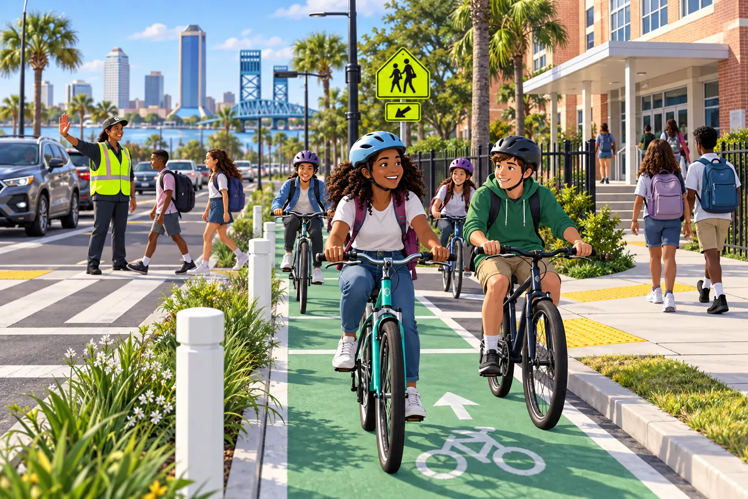
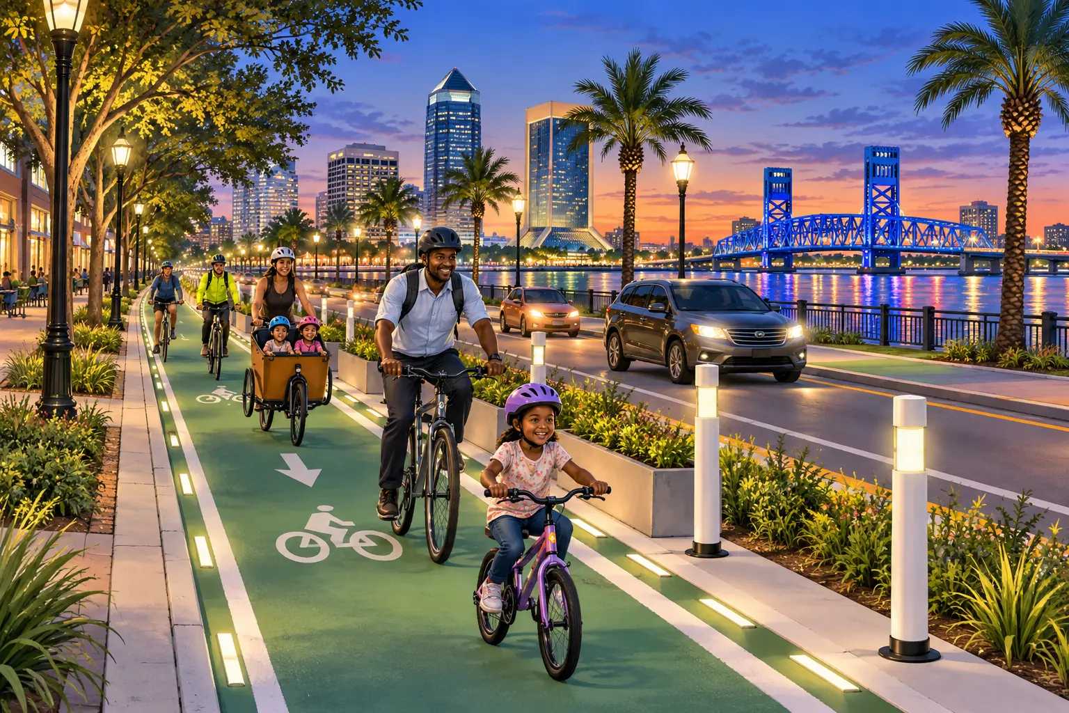
Many serious conflicts happen where paths cross. Jacksonville should evaluate visibility, signal timing, turning movements, lighting, markings, curb geometry, and crossing distance. Routes serving schools and parks deserve particular attention because young users may have less experience judging speed and distance.
Education and enforcement should accompany design. Drivers, riders, and pedestrians all need clear expectations, while dangerous behavior should be addressed consistently.
Maintain what Jacksonville builds
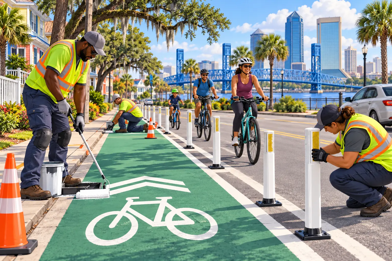
Leaves, sand, broken glass, standing water, faded markings, damaged barriers, and construction detours can make a bicycle facility unusable. Every project should identify inspection, sweeping, drainage, repair, and detour responsibility before it opens.
Residents should be able to report a hazard with one tracking number and understand whether the response is temporary or permanent. Maintenance performance belongs in the same public reporting system as construction.
Connect bicycles with buses and public spaces
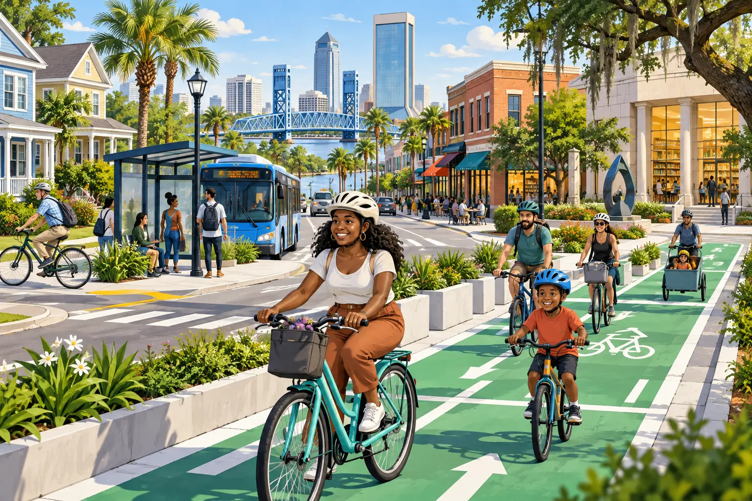
Safe routes can extend the reach of transit by helping people complete the first and last part of a trip. Bicycle parking, bus-stop access, lighting, sidewalks, and secure connections should be planned together.
A connected network also supports recreation, tourism, public health, and neighborhood business. The objective is choice: more Jacksonville residents should have a safe option when a short trip does not require a car.
Day One mobility actions
- Request existing bicycle, pedestrian, crash, sidewalk, and school-route plans
- Map dangerous gaps and recurring maintenance complaints
- Identify several high-value connections for engineering and public review
- Publish project selection and maintenance standards
- Coordinate designs with transit, public works, police, fire, disability advocates, schools, residents, and businesses
Support the safe-streets conversation
Grassroots campaign support helps us explain the plan, listen neighborhood by neighborhood, and reach people who use Jacksonville streets in different ways. Donations fund lawful campaign outreach, not construction projects or government decisions.
Donate securely if you support careful, connected, and accountable mobility improvements. Volunteer, share the article, and ask five neighbors what would make their daily route safer. Together, we win.